|
Municipalities Map of Pinar del Rio Province
|
Municipalities Map of Artemisa Province
|
Municipalities Map of Havana Province
|
Municipalities Map Mayabeque Province
|
Map of Varadero
|
Map of Cienfuegos City
|
Map of Camaguey City
|
Map of Santiago de Cuba City
|
Map of High Level
(In Habana City Province) |
Private Houses
|
Informations
|
Places
|
(In Cuba) |
Places by function
|
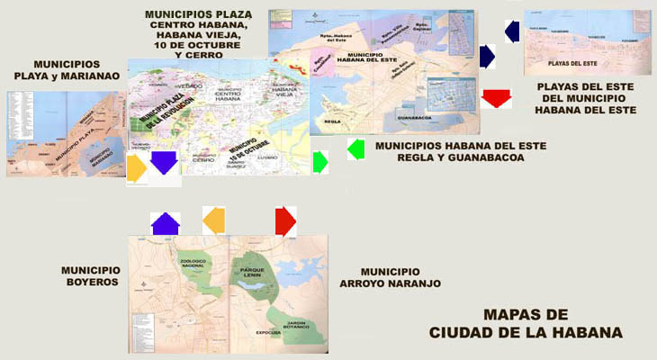
MAPS of HAVANA CITY (PROVINCIA CIUDAD DE LA HABANA
)
More Information about Cuba :
Private Houses
|
Hotel
|
Reservation
|
Reservation Tour
|
Offerings
|
Cuba Maps and Information by area
|
Cuba Places
|
Cuba Music
|
Searching Words & Web Directory
|
Testimonies
|
F.A.Q.
[Cuba Guide]
,
[Cuba Travel Guide]
,
[Cuba Specialty Guide]
,
[Cuba Turistic and Historic]
|
LlerySOFT.com
|
CubaDeTodo.com
|
Add Favorities
|
Links
|
Site Map
|
Subscript it
|
Contact us
|
· Copyright © LlerySoft.com · All rights reserved · 2006 - 2019·
Author : Ing. Jorge Llerena Rodríguez. LlerySoft