Map of High Level Habana del Este to Alamar MapTo see Municipalities and  Turistic Map of  Havana City Cuban Maps Quadrant 2. MAPA DE Villa Panamericana, Bahia, Cojimar y Guanabacoa - Idioma Español Quadrante 2. MAPPA di Villa Panamericana, Bahia, Cojimar e Guanabacoa - Lingua Italiana Quadrant 2. LANDKARTE VON Villa Panamericana, Bahia, Cojimar und Guanabacoa - Deutsch Sprache
(Habana del Este Municipality) | Information |
Quadrant 2. (Villa Panamericana, Antonio Guiteras (Bahia) and Cojimar neighborhoods) Habana del Este Municipality and Guanabacoa Municipality


Return from Eastern Beaches (Playas del Este) using HAVANA Tunnel (Via Blanca-Monumental-Tunnel)


To see Quadrant 1


Return of Western Beaches (Playas del Este) to LUYANÓ por la VIA BLANCA


For go to Playas del Este  (using Via Monumental, or Via Blanca, or Primer Anillo-Via Monumental-Vía Blanca)


Para ir al Parque por el Primer Anillo


Click to enlarge the corresponding area

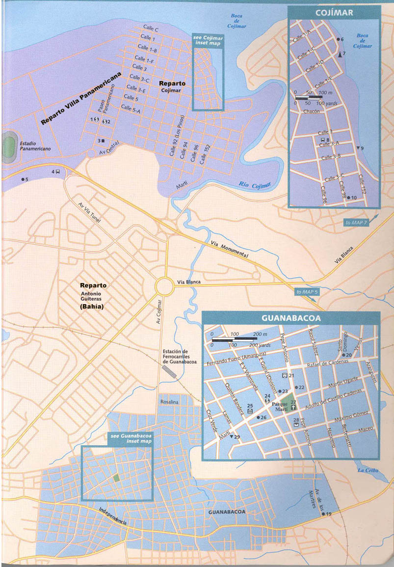
Part of Habana del Este Municipality (Villa Panamericana, Antonio Guiteras (Bahia) and Cojimar neighborhoods) and Guanabacoa Municipality
   
Combinado de Piscinas Baraguá y Velodromo Ciclistico Stadium Panamericano To see Cojimar Map and Legend To See Guanabacoa Map  and Legend To See Guanabacoa Map and Legend To see Cojimar Map and Legend